 6:01 م
 shaberga

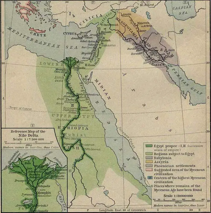
Printable Map of Egypt about 1450 BC + a reference map of the Nile delta.
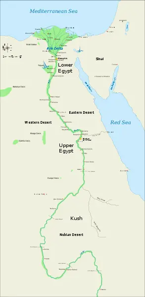
This map of ancient Egypt shows the major cities of the Dynastic period (3150 BC to 30 BC):
Here's another ancient Egypt map, this one is of the Nile river valley as seen by Piri Reis. Piri Reiss was a Turkish admiral, geographer and cartographer who lived from 1465 to 1555.
 Posted in: Ancient Egypt


0 التعليقات:
إرسال تعليق